Tutorials
Welcome to the tutorial page, dedicated to sharing insights and techniques for economic development and regional science.
-

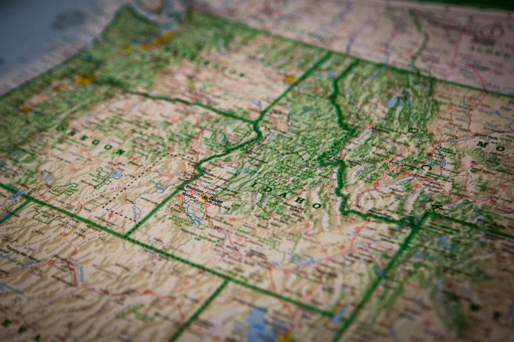
In spatial econometrics, before we run the model, we need to compute descriptive statistics, as in the non-spatial econometrics approach. In spatial econometrics, there is an extension beyond describing data (mean, maximum, minimum, and standard deviation). It is called Exploratory Spatial Data Analysis (ESDA) and uses map visualisation to identify patterns. Also, we need to…
-
Postingan ini merupakan postingan awal untuk seri analisis Spasial dengan GeoDa. Pada tulisan kali ini, saya ingin membagikan tautan bagaimana mendownload GeoDa, khususnya untuk pengguna Windows. Softaware GeoDa merupakan software analisis spasial yang menggunakan user interface (mengutamakan penggunaan mouse untuk menjalankan softwarenya). Hal ini berbeda dengan Stata, R, atau Python yang mengutamakan coding. Dengan demikian,…
-

This video explains how to merge two polygons using QGIS. We’re taking two separate areas of land divided by a lake and joining them together. This tutorial also shows how to make the lake and all the land around it into one big area or a polygon in QGIS. Merging and splitting areas or polygons…
-
Shapefiles in spatial analysis are super important when we are using QGIS. Shapefiles are like the building blocks of your maps in QGIS. They’re particular files that hold information about real places and things, but in a way that computers can understand. When you bring a shapefile into QGIS, it’s like adding a new layer…
